Home /
Expert Answers /
Earth Sciences /
late-cambrian-precambrian-ester-a-a-figure-3-25-graph-paper-for-construction-of-stratigraphic-co-pa887
(Solved): LATE CAMBRIAN PRECAMBRIAN ESTER ^^^ A A FIGURE 3.25 Graph paper for construction of stratigraphic co ...
LATE CAMBRIAN PRECAMBRIAN ESTER ^^^ A A FIGURE 3.25 Graph paper for construction of stratigraphic columns. 1900 1700 1500 1300 1100 900 700 500 300 100 0
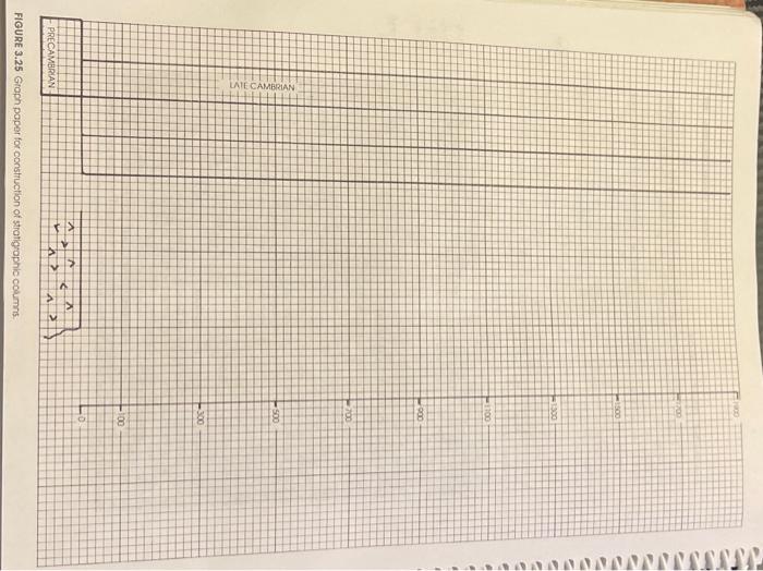
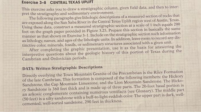
\r\nThis exercise asks you to draw a stratigraphic column, given field data, and then to interpret the stratigraphy and sedimentary environment. The following paragraphs give lithologic descriptions of a measured section of rocks that are exposed along the San Saba River in the Central Texas Uplift region west of Austin, Texas. Using these data, construct a measured stratigraphic section at a scale of 1 inch equals 200 feet on the graph paper provided in Figure 3.25. Prepare this section in basically the same manner as that shown on Exercise 3-1. Include on the stratigraphic section such information as lithology, names, and ages of the lithologic units. In addition, leave room to record any distinctive color, minerals, fossils, or sedimentary structures associated with a given unit. After completing the graphic presentation, use it as the basis for answering the interpretive questions about the geologic history of this portion of Texas during the Cambrian and Ordovician periods. DATA: Written Stratigraphic Descriptions Directly overlying the Town Mountain Granite of the Precambrian is the Riley Formation of the late Cambrian. This formation is composed of the following members: the Hickory Sandstone, the Cap Mountain Limestone, and the Lion Mountain Sandstone. The Hickory Sandstone is 360 feet thick and is made up of three parts. The 20-foot basal portion is an arkosic conglomerate containing numerous ventifacts (see Glossary). The middle part ( 50 feet) is a silty sandstone with a buff-to-light-reddish color. The upper part is dark, wellcemented, well-sorted sandstone, 290 feet in thickness.